Drone mapping system
UAV Survey Waypoint Generator
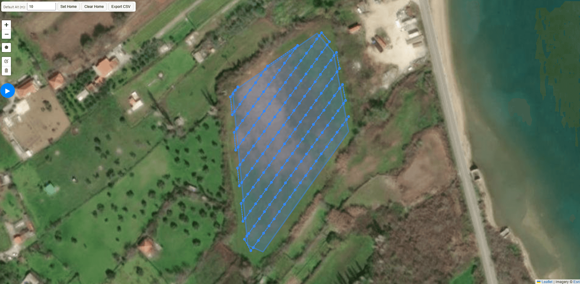
Draw a survey area on a map and generate an efficient flight route using camera geometry, altitude and image overlap.
Live planner
Plan a survey route
Draw an area on the map, set your flight details and generate a route. The full planner is available below or in its own tab.
The idea
What it does
The browser sends a drawn area and flight settings to a C++ planning engine. It chooses a survey grid, generates waypoints and returns a route that can be inspected on the map and exported as CSV.
Demonstration
How it works
01
Draw a survey polygon and optionally set a home point
02
Set the flight altitude and generate survey lines
03
Inspect the route and export its waypoints